
Efficient Vineyard Irrigation Series #1: How to see Soil Moisture at all points in the sub-terrain
This is Part 1 of Deep Planet’s three-part series tackling efficient vineyard irrigation scheduling using VineSignal. You can find Part 2 (about predicting soil moisture) here and Part 3 (about dynamically optimising irrigation scheduling) here.
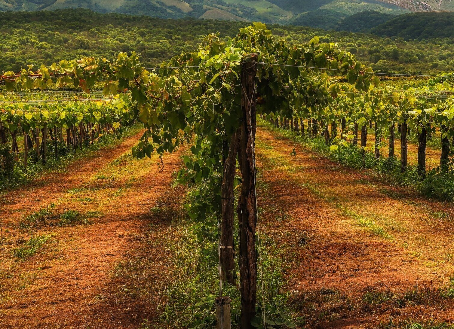
Soil moisture is critical to the growth of the vine and monitoring can help take actions to improve grape quality and yield. With the increasing scarcity of water and cost of water, optimizing irrigation timing, frequency, quantity and location is key for vineyard management.
Current Best Practice
Current best practice, a grower would install ground soil moisture sensors in multiple locations per irrigation block to obtain an average of soil moisture across a site. Limiting factors are the cost of sensors, both in terms of capital equipment and labour to install and maintain them, and the changing soil composition and depth across even small blocks. While sensors give accurate readings, they can only measure soil moisture in one point on the ground. This leads to a lot of error in estimation of soil moisture in between these sensors.
Satellite Imagery, Ground Sensors and AI
Modern satellite imagery especially the multi-wavelength imagery when combined with sensor data allows remote detection of soil moisture, which is both cost-effective and scalable.
Vegetation health indices such as Normalised Difference Vegetation Index (NDVI) and Normalised Difference Water Index (NDWI) can provide a proxy measure of available water content in plants and soil. We have tackled the time series problem of predicting these indices in the future and our platform details proactive actions to manage soil moisture.

Image of predicted NDVI

Image of predicted NDWI
"The Sub-Terrain has been invisible until now."
Unable to measure what is happening below the ground has resulted in sub optimal irrigation methods. VineSignal combines data from soil moisture sensors and satellite imagery with machine learning models, to give soil moisture content at all points and depths of the farm.
Such measurement and prediction of soil moisture can help growers on all scales. Informed knowledge of soil moisture can allow them to target irrigation only in areas that need them, thus reducing crop variability in the field and savings in water usage.

Left: Soil Moisture at all points on soil surface level Right: Soil Moisture at all points and depths as a 3D model of 35 hectare vineyard.
Deep Planet’s VineSignal platform, provides continuous soil moisture readings throughout the field and to a depth of 1.5 meters which helps inform irrigation decisions on the farm to improve yield and quality.
Our team has conducted extensive research on applying machine learning models to satellite imagery with published research papers at ICLR and NIPS conferences. See our papers here and here.


Soil Moisture content can be estimated automatically and frequently (daily/weekly), giving you instant access to your sub-terrain water content. With our specific recommendations, you can make optimal decisions about your farm management and inputs.
Would you like to know how soil moisture is changing throughout your farm? With field boundaries at hand, you can view the soil moisture results in a few minutes of setup!